The history of the parish
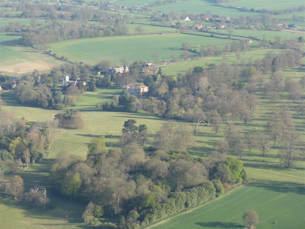
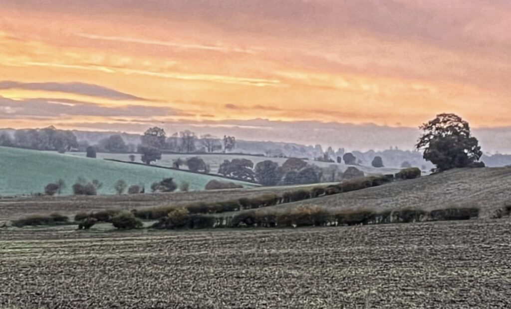
King’s Walden is a civil parish in the county of Hertfordshire, 4,392 acres in extent, lying on a spur of the Chilterns at a height of some 450 ft. above the ordnance datum. The surface of the land is slightly undulating, the subsoil chalk, on which corn is largely grown. Arable land covers 2,755 acres, while the grass land extends over only about one-quarter of this area, and the woodland 137 acres.

The villages in the parish
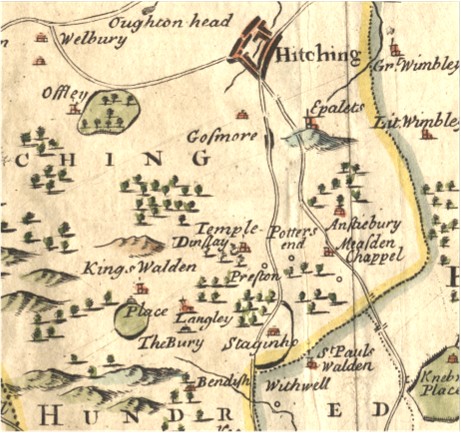
The largest settlement is Breachwood Green. The parish also includes the villages of King’s Walden and Ley Green and the hamlets The Heath, Darley Hall, Lye Hill, Wandon End, Wandon Green , Winch Hill, Austage End, Diamond End and Lawrence End. Find out more here.
King’s Walden village lies in the centre of the parish, and its population in 2001 was 35.
Kings Walden and the Domesday Book
The history of the parish of Kings Walden shows that in 1086, the community contained 53 households. This was considered very large when compared to other Domesday era settlements in the ancient hundred of Hitchin (which had 103 households). Click here to find out more about Kings Walden and the Domesday Book.

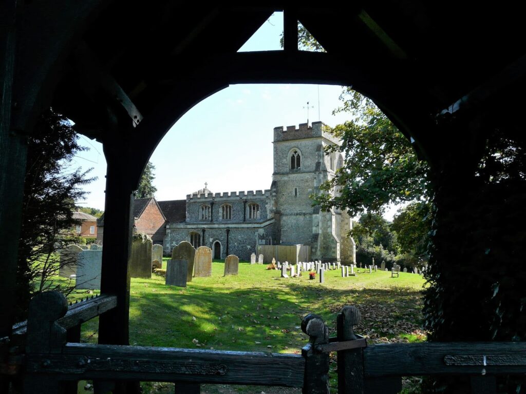
The original settlement seems to have been of the Saxon type, having the church of St. Mary adjoining the manor-house of King’s Waldenbury and the village near, the whole being off the road, as is usual in this type of settlement. At a later date, the inhabitants migrated to the road, where the market would naturally be held, and eventually deserted the original settlement. Thus the village became established where we find it to-day, nearly a mile from the church and manor-house. It is uncertain when a market was first granted, possibly in the 13th century. In 1795 a market was held here on Saturdays. The village consists of two irregular lines of cottages.
